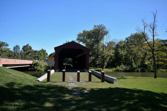
NORTH EAST CREEK
CECIL COUNTY
BUILT - 1860
Length - 119' ... N. of North East. MD272 N. 3.0 miles from jct with US40 on the N. side of North East to the bridge on the E. side of the road. Built by Joseph G. Johnson. Bridge was named for the nearby Gilpin Falls, named for Samuel Gilpin, a distant relative of the Washington family, who acquired extensive land holdings in Cecil County in the early 1730s. Gilpin harnessed the Falls'power to operate a grist and saw mill. Since Gilpin's mill there has been several other mills who have operated in this area. Today only a few remnants remain. The bridge was erected adjacent to and upstream of Samuel Gilpin's mills and dam and crossed the millpond formed by it. Bridge was rehabilitated in 1959, 1990, 2009, and 2015. Bridge was bypassed in 1936 when Rt.-272 was added. Posted to the National Register of Historic Places on December 3, 2008. Closed to motor traffic. Truss Type - Covered Burr Arch Through Truss.
World Guide to Covered Bridge Number - 20-07-01
GPS +39.64884, -75.95563


No comments:
Post a Comment