Sunday, July 12, 2020

NETTIE WOODS/WOODS COVERED BRIDGE - WAYNESBURG, PENNSYLVANIA


                                                                                                          PURSLEY CREEK
                                                                                                         GREENE COUNTY
                                                                                                               BUILT - 1882

Length - 45'.... SW of Waynesburg, Center Township. PA21 W. 0.9 miles from jct with US19 in Waynesburg, continue W. on PA18/21 2.1 miles, S. on SR3013 1.8 miles, just W. on Woods Rd. to the bridge. Rehabilitated in 2005. Posted to the National Register of  Historic Places on June 22, 1979. Open to through traffic. Truss Type - Covered Queenpost Through Truss.
World Guide to Covered Bridge Number - 38-30-26

Saturday, July 11, 2020

SHRIVER COVERED BRIDGE - ROGERSVILLE, PENNSYLVANIA


                                                                                                          HARGUS CREEK
                                                                                                        GREENE COUNTY
                                                                                                              BUILT - 1900

Length - 46'.... S. of Rogersville, Center Township. PA18 SW 0.5 miles from jct with PA21 just W. of Rogersville, S. on Hargus Creek Rd. (SR3011) 1.1 miles, SE on Turkey Hollow Rd. 300' to the bridge. Posted to the National Register of Historic Places on June 22, 1979. Open to motor traffic. Truss Type - Covered Queenpost supported by steel I-beams.
World Guide to Covered Bridge Number - 38-30-29

MEEMS BOTTOM COVERED BRIDGE - MOUNT JACKSON, VIRGINIA


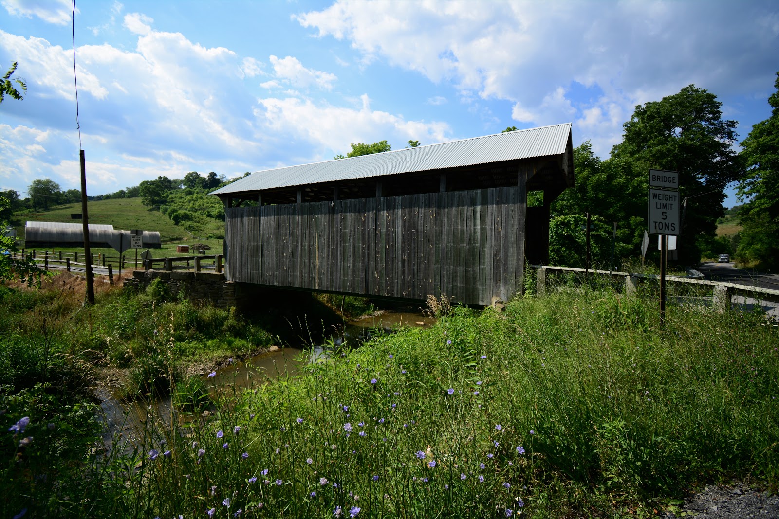
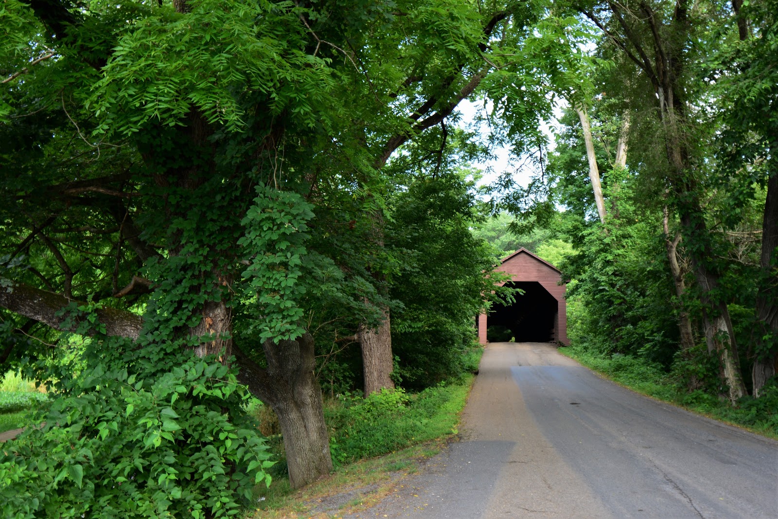
                                                                                      NORTH FORK SHENANDOAH RIVER
                                                                                                 SHENANDOAH COUNTY
                                                                                                             BUILT - 1893

Length - 204'.... S. of Mount Jackson. US11 S. 1.7 miles from jct with VA262 in Mount Jackson, W. on VA720 0.5 miles to the bridge. It is the longest covered bridge in Virginia, and one of the last supports regular motor traffic. The current bridge is the fourth bridge that was made on this location. The name of the bridge derives from the locally prominent Meem family which held large tracts of land in the surrounding area. The farm was later bought by F.H. Whisler in 1891; he contracted John Woods to construct the present bridge. Some 57,000' of timber were cut locally by J.L.Olinger. The bridge was strengthened in 1937 with addition of steel I-beams running along the length of the bridge and parallel to the roadway supports. Bridge was damaged by arson in 1976, then restored in 1979 with the salvaged with the bridge's original timber. Posted to the National Register of Historic Places on June 10, 1975. Open to through traffic. Truss Type - Covered Burr Through Truss'
World Guide to Covered Bridge Number - 46-82-01          

HUMPBACK COVERED BRIDGE - COVINGTON, VIRGINIA


                                                                                                           DUNLAP CREEK
                                                                                                     ALLEGHANY COUNTY
                                                                                                              BUILT - 1857

Length - 106'....W. of Covington, Covington Township. US60 W. 4.5 miles from jct with US220 in Covington, S. on Rumsey Rd. 0.05 miles, E. into roadside park & the bridge. The bridge was bypassed then closed to motor traffic in 1929. The bridge stood derelict till 1953 then was purchased by the Virginia Department of Transportation and was restored. The Humpback Bridge is the nation's only surviving curved-span covered bridge and is the oldest covered bridge in Virginia. The bridge has no middle support, and the center point of the floor and roof is eight feet higher than the ends. The bridge, as it stands today, has most of the original hand-hewn support timbers and decking that was laid down in 1857, however most of the walls and roofing have been replaced several times since. Posted to the National Register of Historic Places on October 1, 1969. Closed to through traffic. Truss Type - Covered Multiple Kingpost Through Truss.
World Guide to Covered Bridge Number - WGCB - 46-03-01

DENTS RUN/LAUREL POINT COVERED BRIDGE - WESTOVER, WEST VIRGINIA


                                                                                                       RIVER - DENTS RUN
                                                                                                   MONONGALIA COUNTY
                                                                                                              BUILT - 1889

Length - 42'.... W. of Westover, Western Township. US19 W. 2.9 miles from jct with I79 exit 152 just W. of Westover, N. on Sugar Grove Rd. (CR43) 0.6 miles, W. (left) on John Fox Rd. 0.1 miles to the bridge on the N. side of the road. Rebuilt 1984, 2004. Posted to the National Register of Historic Places on June 4, 1981.  Closed to motor traffic. Truss Type - Covered Kingpost Through Truss
World Guide to Covered Bridge Number - 48-31-03