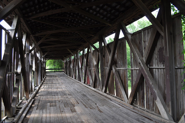
These photos below were taken on November 20, 1915 before bridge restoration.
RIVER - ANDERSON FORK/CAESARS CREEK
GREENE COUNTY
BUILT - 1877
Length - 135' .....ESE of Spring Valley, Caesarscreek Township. Spring Valley Paintersville Rd. E. 4.3 miles from jct with US42 in Spring Valley, S. on Engle Mill Road 0.75 miles to the bridge on the E. side of the road. The bridge was constructed by the Bridge Smith Company using the Smith Truss bridge patent. Bridge named after the nearby Levi Engle Mill.Closed to motor traffic. Truss Type - Covered Smith Through Truss
World Guide to Covered Bridge Number - 35-29-03


